 Banggai ArchipelagoThe Banggai Islands, off eastern Central Sulawesi: Lake Paisupok on Peleng Island, reef diving, and the Banggai cardinalfish, native only to these islands.Read more
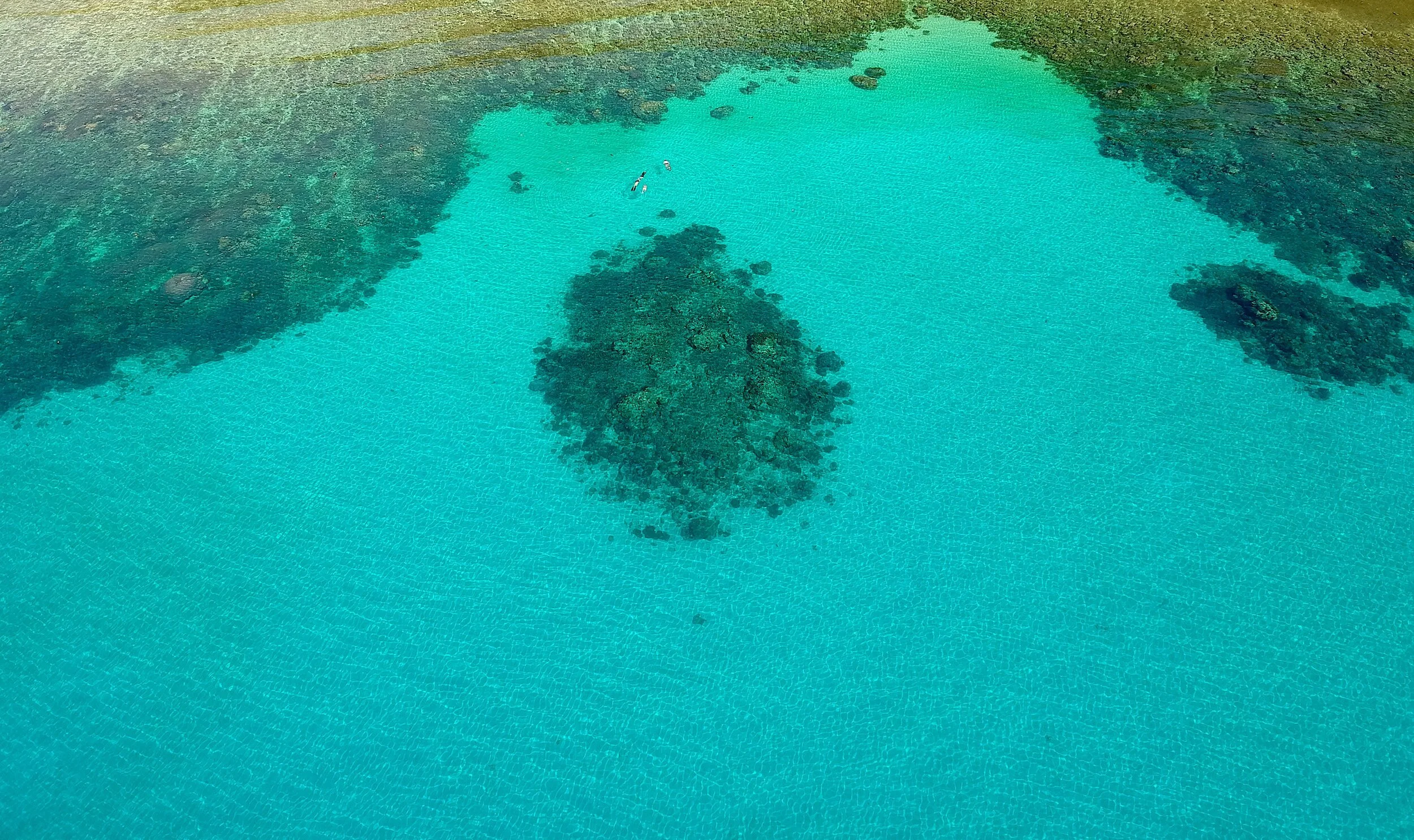 BangkaBangka Island, off the northern tip of North Sulawesi: soft coral pinnacles and quiet dive resorts, reached by boat from Likupang.Read more
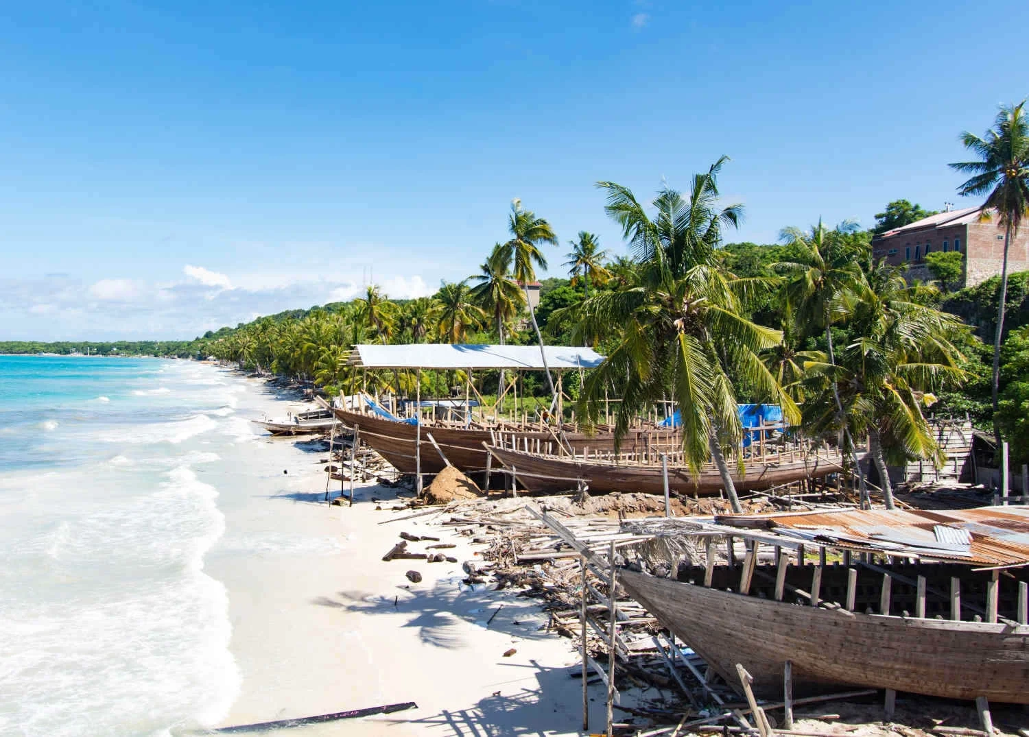 BiraTanjung Bira, at the southern tip of South Sulawesi: white sand beaches, clear water for snorkelling, and the pinisi boatyards of Tana Beru nearby.Read more
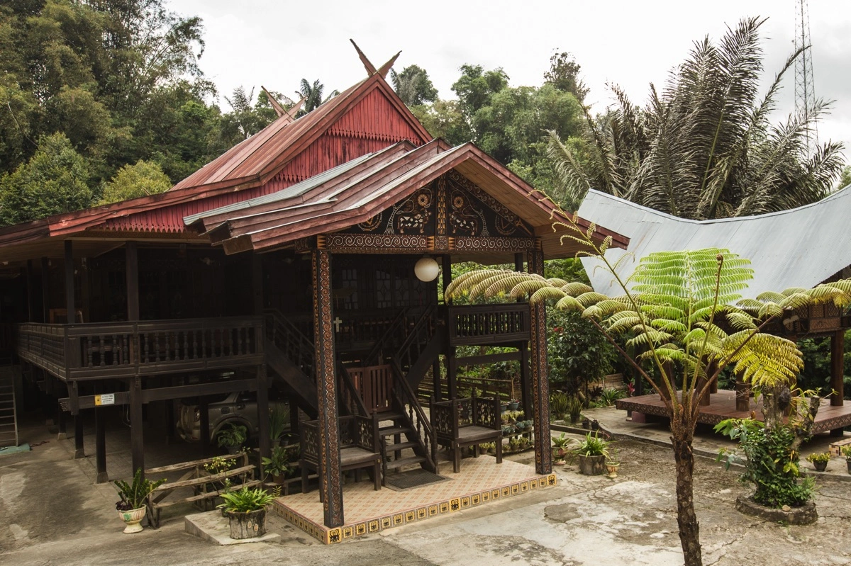
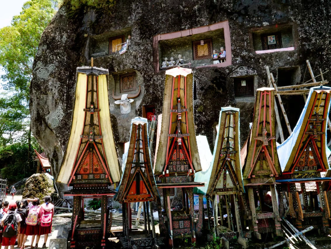 Sulawesi Travel Guide: Plan Your Trip by Region and SeasonPlan a Sulawesi trip in one place: the six regions and what each is known for, when to go, the two gateways, sample routes, visa, money and safety.Read more
- How to Get to Sulawesi: Flights, Ferries and Entry PointsFly to Makassar (UPG) or Manado (MDC), Sulawesi's two international gateways with visa on arrival. Flights, Pelni ships and entry points, October 2026.Read more
- Things to Do in Sulawesi: Diving, Wildlife, Culture and IslandsDiving at Bunaken, Lembeh and Wakatobi, tarsiers at Tangkoko and the tongkonan of Tana Toraja: 21 things to do in Sulawesi, by region and best month.Read more
- Sulawesi Cave Art: The World's Oldest Dated Rock Art and How to Visit
- Pinisi Shipbuilding at Tana Beru: Inside the Bugis Boatyard
- Attending a Toraja Rambu Solo' funeral
- The Bajau at Mola, in the present tense
- Reading a tongkonan: the carvings at Ke'te Kesu'
- Understanding Rambu Solo': The Torajan Funeral Ceremony
- All

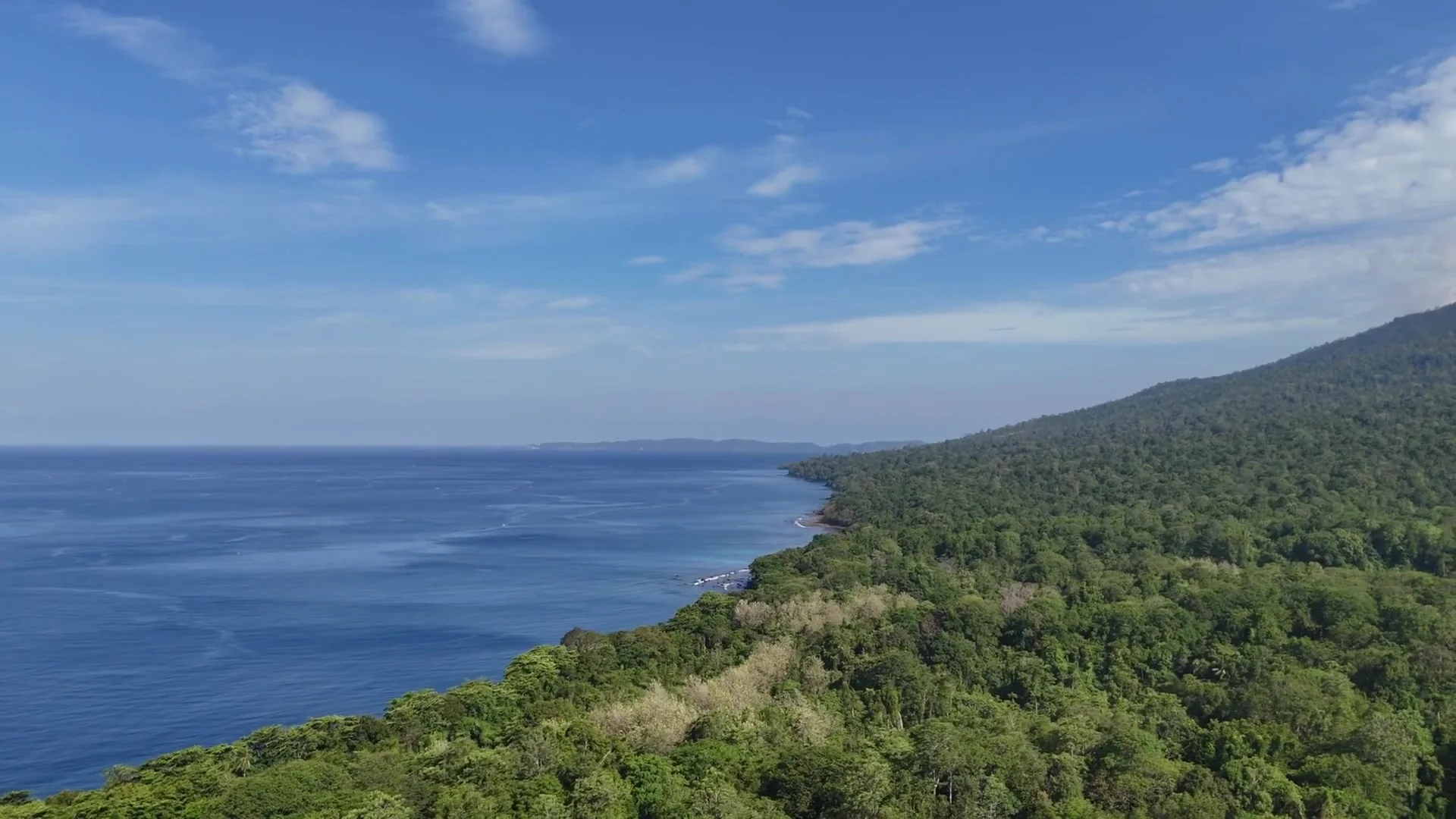
- How to Get to Sulawesi: Flights, Ferries and Entry Points
- Is Sulawesi Safe? Earthquakes, Volcanoes, Sea, Roads and Official Advice
- Manado to Bunaken Ferry: Public Boat or Resort Transfer
- Surviving a Pelni ferry, two nights at sea
- Driving the Trans-Sulawesi, what to expect
- Getting Around Sulawesi: Flights, Buses, and Ferries Explained
- All
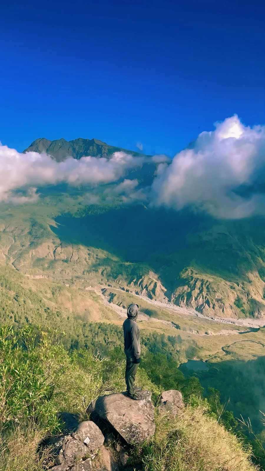 2-Day Lembah Ramma Valley Hiking & Camping TourJourney from Makassar into the cool highlands of Malino for a 2-day trekking adventure through mountain streams and pine forests to Lembah Ramma. Camp overnight in a tranquil valley beneath the shadows of Mount Bawakaraeng, surrounded by lush meadows and dramatic rock wallsRead more
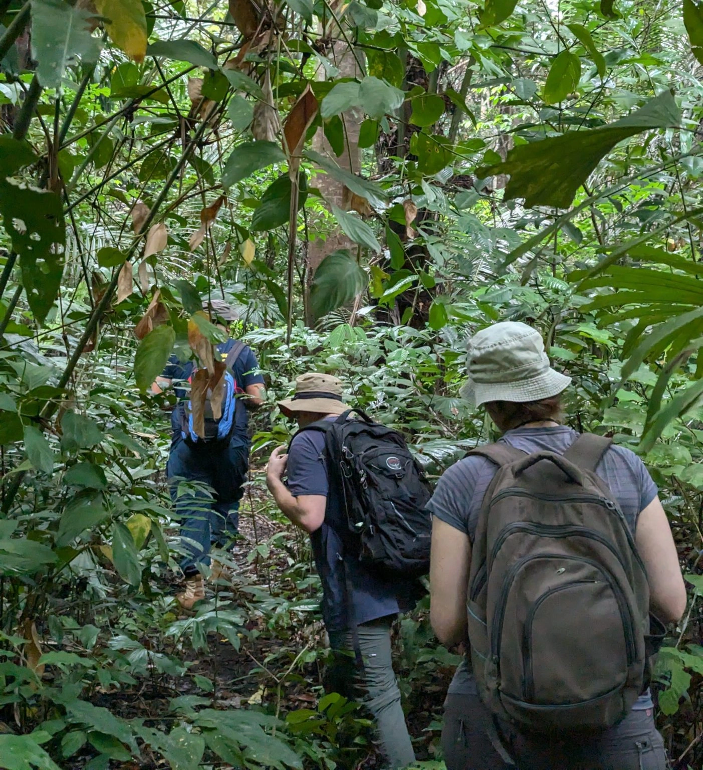 2D1N Tangkoko Nature Reserve Overnight Wildlife SafariExperience Tangkoko Nature Reserve across two distinct wildlife activity windows on an overnight safari. Track troops of Sulawesi black crested macaques, bear cuscus, and nocturnal tarsiers at dusk, then wake for an early-morning canopy trek to spot rare endemic birds and early-rising primatesRead more
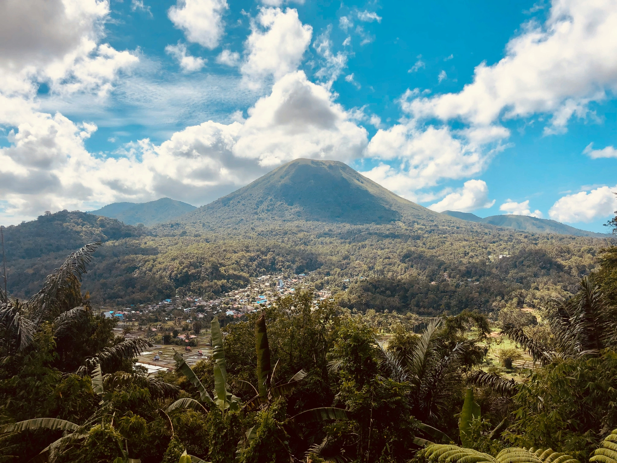 3D2N Manado Highland & Island EscapeDiscover the cool Minahasa Highlands and historic landmarks before venturing out on a boat excursion across Bunaken Marine Park and Nain Island. Wrap up your journey with local culinary experiences and a quick city shopping tour of ManadoRead more
- 2-Day Lembah Ramma Valley Hiking & Camping Tour
- 2D1N Tangkoko Nature Reserve Overnight Wildlife Safari
- 3D2N Manado Highland & Island Escape
- 3-Day Toraja Cultural Immersion & Traditional Villagestay
- 7-Day Mount Gandang Dewata Remote Peak Traverse
- 5-Day Babirusa & Nantu Forest Expedition
- 14-Day Grand South & West Sulawesi Cultural Grand Overland Expedition
- All Trek tours
- 2-Day Lembah Ramma Valley Hiking & Camping Tour
- 3D2N Manado Highland & Island Escape
- 3D2N Makassar & Maros Highlights Tour
- 2-Day Bulukumba & Ammatoa Kajang Indigenous Village Cultural Tour
- 3-Day Toraja Cultural Immersion & Traditional Villagestay
- 7-Day Mount Gandang Dewata Remote Peak Traverse
- 7-Day Banggai Islands Expedition Cruise
- 5-Day Babirusa & Nantu Forest Expedition
- 8-Day Togean Islands Cruise & Beach Hopper Adventure
- 14-Day Grand South & West Sulawesi Cultural Grand Overland Expedition
- All Culture tours
- 2-Day Lembah Ramma Valley Hiking & Camping Tour
- 2D1N Tangkoko Nature Reserve Overnight Wildlife Safari
- 3D2N Manado Highland & Island Escape
- 3D2N Makassar & Maros Highlights Tour
- Bunaken & North Sulawesi Flexible Dive Resort Escape
- 3-Day Toraja Cultural Immersion & Traditional Villagestay
- 7-Day Mount Gandang Dewata Remote Peak Traverse
- 7-Day Banggai Islands Expedition Cruise
- 5-Day Babirusa & Nantu Forest Expedition
- All Wildlife & Birding tours
 Private car with driverDoor to door across Sulawesi, with a local driver. Send us your route, and we reply with a price.Ask for a price
- Road routes27 routes between the towns of Sulawesi, each with its distance and drive time.All land routes
- Tours with transport includedTours put the driving, the stops and the nights together into one trip.See the tours
Weather in Sulawesi
The weather now and the next ten days for 24 places across Sulawesi, with air quality, clouds from space, earthquakes and the latest news. Plan ahead with the weather by month: rain since 1981, sun, sea temperature and waves.
The weather in Sulawesi changes fast, above all in the mountains and at sea. We gather these figures from public sources and from visitors' reports, and they can be late or wrong. Before a boat trip, a climb or a flight, check with your operator, guide or airline.
Weather facts
All times are Sulawesi time (WITA, UTC+8).
Sulawesi weather by month
What to expect in each place in any month: rain, cloud, temperature, sea and waves, from the records of past years. Choose a month.
- Driest in November: Luwuk (65 mm), Banggai Archipelago (75 mm) and Wakatobi (103 mm).
- Wettest: Bunaken (330 mm), Manado (279 mm) and Tangkoko (256 mm).
- Calmest seas: Palu (0.1 m), Togean Islands (0.1 m) and Luwuk (0.1 m).
- Sea temperature: 29° to 30°.
| Place | Rain | Cloud by day | High / low | Sea | Waves at sea |
|---|---|---|---|---|---|
| North Sulawesi | |||||
| 279 mmWet in 30 of 30 years | 73% | 30° / 25° | 29° | 0.3 m0% over 1.25 m | |
| 330 mmWet in 30 of 30 years | 73% | 30° / 25° | 29° | 0.3 m0% over 1.25 m | |
| 251 mmWet in 30 of 30 years | 73% | – | – | – | |
| 256 mmWet in 29 of 30 years | 62% | 30° / 25° | 29° | 0.7 m1% over 1.25 m | |
| 254 mmWet in 29 of 30 years | 62% | 30° / 25° | 29° | 0.7 m1% over 1.25 m | |
| Gorontalo | |||||
| 134 mmWet in 25 of 30 years | 65% | – | 30° | 0.2 m0% over 1.25 m | |
| Central Sulawesi | |||||
| 115 mmWet in 20 of 30 years | 83% | – | 29° | 0.1 m0% over 1.25 m | |
| 129 mmWet in 25 of 30 years | 79% | 27° / 16° | – | – | |
| 183 mmWet in 27 of 30 years | 79% | – | – | – | |
| 137 mmWet in 25 of 30 years | 73% | 31° / 27° | 30° | 0.1 m0% over 1.25 m | |
| 65 mmDry in 12 of 30 years | 70% | – | 29° | 0.1 m0% over 1.25 m | |
| 75 mmDry in 11 of 30 years | 59% | 32° / 25° | 29° | 0.2 m0% over 1.25 m | |
| 172 mmWet in 19 of 30 years | 58% | 30° / 26° | 30° | 0.2 m0% over 1.25 m | |
| West Sulawesi | |||||
| 234 mmWet in 30 of 30 years | 76% | 30° / 26° | 29° | 0.3 m<1% over 1.25 m | |
| 205 mmWet in 28 of 30 years | 80% | 28° / 16° | – | – | |
| South Sulawesi | |||||
| 191 mmWet in 25 of 30 years | 70% | 33° / 26° | 30° | 0.3 m0% over 1.25 m | |
| 240 mmWet in 26 of 30 years | 78% | 33° / 26° | – | – | |
| 215 mmWet in 27 of 30 years | 80% | 28° / 18° | – | – | |
| 118 mmWet in 16 of 30 years | 56% | 31° / 27° | 29° | 0.3 m0% over 1.25 m | |
| 150 mmWet in 17 of 30 years | 55% | 31° / 27° | 30° | 0.3 m0% over 1.25 m | |
| 125 mmWet in 13 of 30 years | 56% | 30° / 27° | 30° | 0.3 m<1% over 1.25 m | |
| Southeast Sulawesi | |||||
| 109 mmWet in 14 of 30 years | 58% | 34° / 24° | 29° | 0.2 m0% over 1.25 m | |
| 150 mmWet in 19 of 30 years | 56% | 33° / 26° | 29° | 0.3 m0% over 1.25 m | |
| 103 mmWet in 14 of 30 years | 53% | 30° / 27° | 30° | 0.3 m<1% over 1.25 m | |
DryMoistWet
Rain: CHIRPS averages of 1991 to 2020, for an area about 16 km wide around each place. A dry month has under 60 mm and a wet month over 100 mm, the lines of the Schmidt-Ferguson classification used in Indonesia. Cloud and temperatures: NASA POWER, 2001 to 2025, about 50 km cells. Sea temperature: NOAA Coral Reef Watch, 1991 to 2020. Waves: NOAA WAVEWATCH III, 2017 to 2026, in the open sea near each place: bays and straits are calmer. BMKG warns small boats from 1.25 m.
Dry years and El Niño
El Niño is a warming of the Pacific Ocean that moves rain away from Indonesia. In El Niño years, Sulawesi's dry season gets much less rain. La Niña brings more.
El Niño is under way: NOAA's index for August to October 2026 is +2.5.
July to September 2026 brought our 24 places 30% of their usual rain.
In the 12 El Niño years since 1981, July to October brought 52% of the usual rain. In the 10 La Niña years, 156%.
- 1981: 116% of the usual rain
- 1982: 25% of the usual rain, an El Niño year
- 1983: 109% of the usual rain
- 1984: 120% of the usual rain
- 1985: 125% of the usual rain
- 1986: 92% of the usual rain, an El Niño year
- 1987: 34% of the usual rain, an El Niño year
- 1988: 148% of the usual rain, a La Niña year
- 1989: 151% of the usual rain
- 1990: 89% of the usual rain
- 1991: 53% of the usual rain, an El Niño year
- 1992: 86% of the usual rain
- 1993: 50% of the usual rain
- 1994: 46% of the usual rain
- 1995: 104% of the usual rain, a La Niña year
- 1996: 136% of the usual rain
- 1997: 50% of the usual rain, an El Niño year
- 1998: 155% of the usual rain, a La Niña year
- 1999: 121% of the usual rain, a La Niña year
- 2000: 129% of the usual rain
- 2001: 96% of the usual rain
- 2002: 32% of the usual rain, an El Niño year
- 2003: 82% of the usual rain
- 2004: 52% of the usual rain, an El Niño year
- 2005: 105% of the usual rain
- 2006: 44% of the usual rain, an El Niño year
- 2007: 98% of the usual rain, a La Niña year
- 2008: 179% of the usual rain
- 2009: 71% of the usual rain, an El Niño year
- 2010: 244% of the usual rain, a La Niña year
- 2011: 100% of the usual rain, a La Niña year
- 2012: 104% of the usual rain
- 2013: 140% of the usual rain
- 2014: 69% of the usual rain
- 2015: 31% of the usual rain, an El Niño year
- 2016: 161% of the usual rain
- 2017: 170% of the usual rain
- 2018: 78% of the usual rain, an El Niño year
- 2019: 46% of the usual rain
- 2020: 165% of the usual rain, a La Niña year
- 2021: 213% of the usual rain, a La Niña year
- 2022: 211% of the usual rain, a La Niña year
- 2023: 63% of the usual rain, an El Niño year
- 2024: 121% of the usual rain
- 2025: 168% of the usual rain
- 2026, July to September: 30% of the usual rain
El Niño yearLa Niña yearOther yearThe usual rain (100%)
Past El Niño years, month by month
Rain against the usual, from June of the El Niño year to February of the next.
- Jun77%
- Jul58%
- Aug53%
- Sept53%
- Oct45%
- Nov71%
- Dec74%
- Jan86%
- Feb80%
The air over our places was about 0.6 °C warmer in 2016 to 2025 than in 1981 to 1990. The sea was about 0.6 °C warmer than in 1985 to 1994 (the middle value of our places).
Rain: CHIRPS (Climate Hazards Center, UC Santa Barbara). El Niño: NOAA's Oceanic Niño Index for August to October; a year counts from +0.5 (El Niño) or -0.5 (La Niña). Warming: NASA POWER and NOAA Coral Reef Watch.
Reports from visitors
No reports from visitors right now. If you are near one of the places on this page, report the weather there.
Visitors pick from fixed choices only. A report shows when two visitors agree (their position was checked, or they are on an Indonesian network), when three visitors agree, when the measured data agree, or when our team confirms it. Each report stays up for 1.5 to 12 hours, by kind.
Live news
- Heavy rain accompanied by lightning and strong winds have the potential to hit a number of regions of North SulawesiTribunmanado.co.idTranslated17 min agoStorm
- Weather Forecast in North Sulawesi Today Thursday 5 November 2026, BMKG: Manado and Minut Rain PotentialTribunmanado.co.idTranslated40 min agoManado
- Supporting the Affordable Housing Program, GIS Expands Earthquake-Friendly Brick Penetration in South SulawesiStabilitas.idTranslated1 hour agoEarthquake
- This is a list of AMI Awards 2026 winners from 67 categoriesANTARA SulutTranslated1 hour ago
- BMKG Forecasts Light Rain in 12 South Sulawesi Regions, Strong Winds Also Need to Be CautiousChanel SulselTranslated4 hours agoStorm
- Twice the Central Sulawesi Earthquake in an Hour, Buol and Parigi Moutong AffectedButol PostTranslated7 hours agoEarthquake
- This Morning, North Sulawesi Has Potential for Heavy Rain Accompanied by Lightning, BMKG Issues Early Warning, Starting at 10.45 WIBDataboksTranslated7 hours agoStorm
- Central Sulawesi Regional Police intensively patrolled a number of karhutla-prone points in PaluANTARA SultengTranslated14 hours agoSmokePalu
Headlines from ANTARA's Sulawesi sites and Google News, about weather and natural hazards in Sulawesi, checked every 15 minutes. Headlines in another language are machine-translated (MyMemory). Each opens the outlet's own story.
Weather alerts by email
We email you when something happens at your places, and only then. Each email has a link to stop.
Air and flights
Air quality by place, the smoke the airports report, fires seen by satellite, and the airspace warnings over Sulawesi. Facts and forecasts, no guesses.
Air quality now, worst first
A PM2.5 index (US AQI) from the Copernicus CAMS forecast model, about 45 km wide. It is a model, not a sensor in the street: smoke can be thicker in one valley or town. See the airports' smoke reports below.
Smoke at the airports (last 24 hours)
- Makassar Hasanuddin AirportSmoke or haze in 28 of 49 reports, visibility down to 4 kmLatest report 5 Nov, 11:30 WITA, visibility 7 kmFires in 48 hours: 35 within 100 km, 147 within 300 km
- Manado Sam Ratulangi AirportNo smoke or haze in 47 reportsLatest report 5 Nov, 11:30 WITA, visibility 10+ kmFires in 48 hours: 27 within 100 km, 127 within 300 km
881 fires seen by satellite around Sulawesi in 48 hours
Airspace warnings over Sulawesi
- Volcanic ash (ERUPTION MT DUKONO) · until 5 Nov, 13:10 WITA
International SIGMETs through aviationweather.gov. Volcanic ash can close airports and routes. Airlines decide on flights: check yours with your airline.
Smoke history at Makassar and Manado airports
Makassar Sultan Hasanuddin Airport
Share of hours with haze or smoke, by month, since 2010.
- J
- F
- M
- A
- M
- J
- J
- A
- S
- O
- N
- D
- 14 Oct 2026: 24 hours of smoke, visibility down to 1.7 km
- 30 Oct 2015: 24 hours of smoke, visibility down to 4 km
- 26 Oct 2026: 23 hours of smoke, visibility down to 2 km
Manado Sam Ratulangi Airport
Share of hours with haze or smoke, by month, since 2010.
- J
- F
- M
- A
- M
- J
- J
- A
- S
- O
- N
- D
- 24 Oct 2015: 24 hours of smoke, visibility down to 3 km
- 22 Oct 2026: 24 hours of smoke, visibility down to 3 km
- 24 Oct 2026: 24 hours of smoke, visibility down to 3 km
Earthquakes around Sulawesi
The latest earthquakes BMKG lists in and near Sulawesi: magnitude 5 or more, and every earthquake people felt. BMKG writes the place and the reports in Indonesian.
- 3.4M
4 Nov, 15:56 WITA
Pusat gempa berada di darat 40 km timur laut Sigi
10 km deep · 36 km from Lore Lindu
Felt: III Sigi, II Palu
Shake map (BMKG) - 4.1M
4 Nov, 04:28 WITA
Pusat gempa berada di darat 61 km utara Luwu Timur
6 km deep · 53 km from Lake Poso
Felt: II - III Morowali Utara
- 4.8M
3 Nov, 23:37 WITA
Pusat gempa berada di laut 86 km Selatan Kota Gorontalo
87 km deep · 86 km from Gorontalo
Felt: III Kab. Gorontalo, II - III Kab. Bone Bolango, II - III Kab. Gorontalo Utara, II - III Kota Gorontalo, II - III Kab. Banggai, II - III Kab. Banggai Kepulauan
- 5.3M
2 Nov, 16:13 WITA
Pusat gempa berada di darat 1 km Barat Daya Tomohon
148 km deep · 4 km from Tomohon
No tsunami risk (BMKG)
Felt: II - III Ternate, II Minahasa
Near the coast, after strong or long shaking, go to high ground at once. Do not wait for a warning.
Where the figures come from
BMKG
Indonesia's Meteorology, Climatology and Geophysics Agency. Its official forecast for each village, every three hours for three days, and its lists of earthquakes. We ask for the forecast every hour and for the earthquakes every five minutes.
Last answer: 5 Nov, 11:40 WITA
MET Norway
The Norwegian Meteorological Institute. Its global forecast, each hour for two days, then to ten days. We ask for it again as soon as it changes. Data licensed under CC BY 4.0.
Last answer: 5 Nov, 11:40 WITA
Airport reports (METAR)
What the airports measure, through aviationweather.gov (NOAA). Today only Makassar and Manado send them every half hour. A place uses its airport's report only when the airport is near and at the same height.
Last answer: 5 Nov, 12:02 WITA
NASA FIRMS
Fires seen by the NOAA-20 and Suomi NPP satellites in the last 48 hours. We acknowledge the use of data from NASA's Fire Information for Resource Management System (FIRMS). A hotspot is a heat source: most are fires.
Last answer: 5 Nov, 11:40 WITA
Air quality (Copernicus CAMS)
The Copernicus Atmosphere Monitoring Service (CAMS) forecast, the model most air-quality maps show: PM2.5 and PM10 every 3 hours for five days, about 45 km wide, read from ECMWF's public map service. We ask for each new daily run and compute the US AQI from PM2.5. Contains modified Copernicus Atmosphere Monitoring Service information.
Last answer: 5 Nov, 11:42 WITA
Waves (NOAA WAVEWATCH III)
NOAA's WAVEWATCH III global wave model, run by PacIOOS (University of Hawaii): the waves every 3 hours for about six days in the open sea near each place on the coast, read every 3 hours. Free to use. Before a crossing, check BMKG's marine forecast.
Last answer: 5 Nov, 11:40 WITA
News
Headlines from ANTARA, Indonesia's national news agency, on its Sulawesi sites, and from Google News, kept when they are about weather or natural hazards in Sulawesi, checked every 15 minutes. Translations: MyMemory (machine translation, free).
Last answer: 5 Nov, 11:56 WITA
Climate and history
Rain in every month since 1981: CHIRPS (Climate Hazards Center, UC Santa Barbara, public domain). El Niño and La Niña: NOAA's Oceanic Niño Index. Cloud and temperatures: NASA POWER. Sea temperature: NOAA Coral Reef Watch. Waves: NOAA's WAVEWATCH III model, run by PacIOOS (University of Hawaii). The airports' haze history: the Iowa Environmental Mesonet's archive of airport reports.
Last answer: 5 Nov, 11:40 WITA
CHIRPSNOAA ONINASA POWERNOAA Coral Reef WatchPacIOOS WAVEWATCH IIIIEM
Licence: This data is free to reuse. Credit sulawesi.com and the source of each figure. Each source's own terms also apply. News headlines belong to their publishers.
A forecast can be wrong, and the weather in the mountains and at sea changes fast. Before a boat trip or a climb, ask your boat operator, your guide or the harbour about the conditions on the day.
Report a bug or idea
Tell us what does not work on sulawesi.com, or what you would like to see.
Sulawesi weather today, by province
Figures of 5 Nov, 12:03 WITA.
- North Sulawesi: 20 to 33 °C; rain expected at 5 of 5 places. The most rain: Manado, about 8.1 mm.
- Gorontalo: 24 to 31 °C; rain expected at 1 of 1 place. The most rain: Gorontalo, about 3.3 mm.
- Central Sulawesi: 17 to 33 °C; rain expected at 4 of 7 places. The most rain: Palu, about 3.7 mm.
- West Sulawesi: 16 to 27 °C; rain expected at 2 of 2 places. The most rain: Mamuju, about 8.1 mm.
- South Sulawesi: 20 to 32 °C; rain expected at 1 of 6 places. The most rain: Tana Toraja, about 1.6 mm.
- Southeast Sulawesi: 24 to 34 °C; rain expected at 0 of 3 places.
Questions about the weather in Sulawesi
- What is the weather like in Sulawesi today?
- On 5 Nov, 12:03 WITA, temperatures across Sulawesi run from 16 °C in Mount Gandangdewata to 34 °C in Baubau. 13 of 24 places expect rain today.
- When is the dry season in Sulawesi?
- In Makassar, the driest month is August, with about 4 mm of rain. The wettest is December, with about 689 mm (CHIRPS averages, 1991-2020). The weather by month on this page shows every place.
- Is the sea rough in Sulawesi today?
- In the forecast of 5 Nov, 12:03 WITA, today's waves stay under 1.25 m at all 18 of our places on the coast. The calmest is Palu (0.1 m). Bays and straits are calmer than the open sea.
- Does El Niño make Sulawesi drier?
- Yes. In the 12 El Niño years since 1981, July to October brought Sulawesi 52% of its usual rain, and November 71%. NOAA's index shows El Niño now: +2.5 for August to October 2026. July to September 2026 brought 30% of the usual rain.
- When is the sea calmest in Sulawesi?
- Across our 18 places on the sea, waves of 1.25 m or more are rarest in November, April and October and most common in February, July and January (NOAA WAVEWATCH III, 2017 to 2026). BMKG warns small boats from 1.25 m. Each place shows its calmest months under "Best time".
- How warm is the sea in Sulawesi?
- The sea at our 18 places on the coast averages 27.9 °C in August and 29.5 °C in April, its coolest and warmest months (NOAA Coral Reef Watch, 1991 to 2020).
- Is there smoke or haze in Sulawesi now?
- Yes, in part. In the 24 hours to 5 Nov, 12:03 WITA, smoke or haze was reported at Makassar Hasanuddin Airport. Satellites saw 881 fires in and around Sulawesi in 48 hours.
- How fast does the weather change in Sulawesi?
- Fast. Afternoon thunderstorms can build within an hour, mountains are cooler and wetter than the coast, and the sea can turn rough with the wind. Treat a forecast as a guide and check again on the day.
- Where does this weather data come from?
- From public sources: BMKG (Indonesia's weather service), MET Norway, airport reports, NASA (satellite fires, climate and cloud pictures), Copernicus CAMS (air quality), BMKG's earthquake lists, and news from ANTARA and Google News. The weather by month uses CHIRPS (rain since 1981) and NOAA (El Niño, sea temperature and waves). The list at the end of the page says how often each one is checked.
- Can I report the weather in Sulawesi?
- Yes. If you are within 40 km of a place on this page, choose what the weather is doing, such as heavy rain, flooding or smoke. A report shows when another visitor or the measured data agree, or when our team confirms it.
- Can I get weather alerts for Sulawesi?
- Yes, free by email: choose all of Sulawesi or your places, and storms, earthquakes, air and smoke, or a morning summary. You confirm once by email, and every email has a link to stop.
- Can AI assistants use this weather data?
- Yes. The same data is open as JSON, described in OpenAPI at https://api.sulawesi.com/api/v1/weather/openapi.json, and through an MCP (Model Context Protocol) server at https://api.sulawesi.com/api/mcp.
This text was written at 12:03 WITA. The live figures higher up the page update every five minutes.