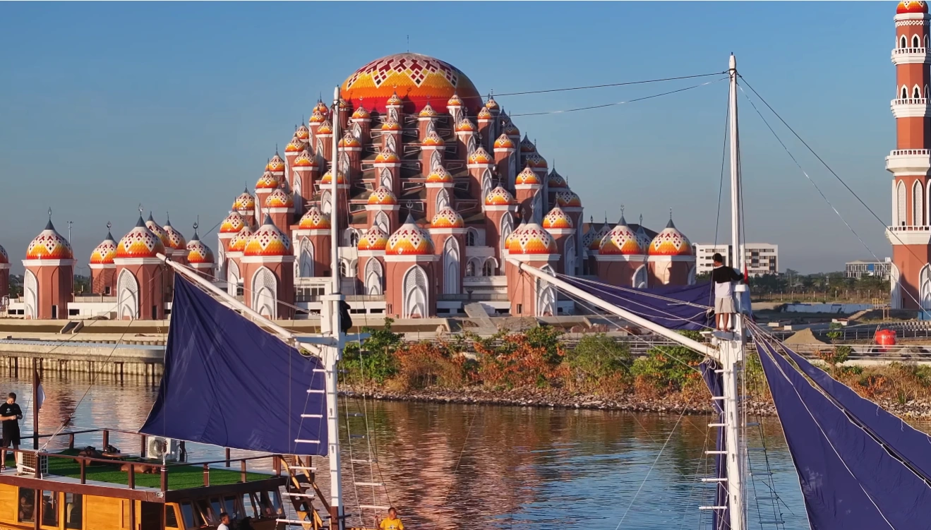
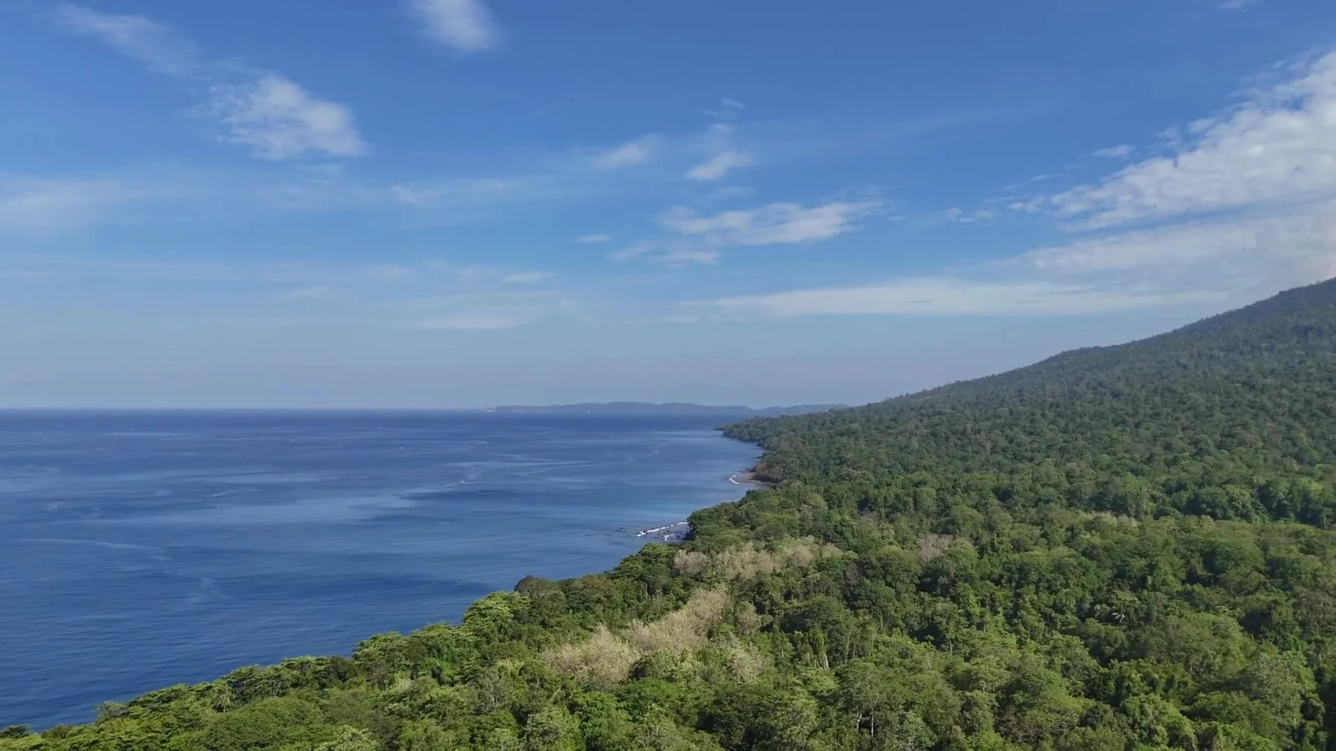
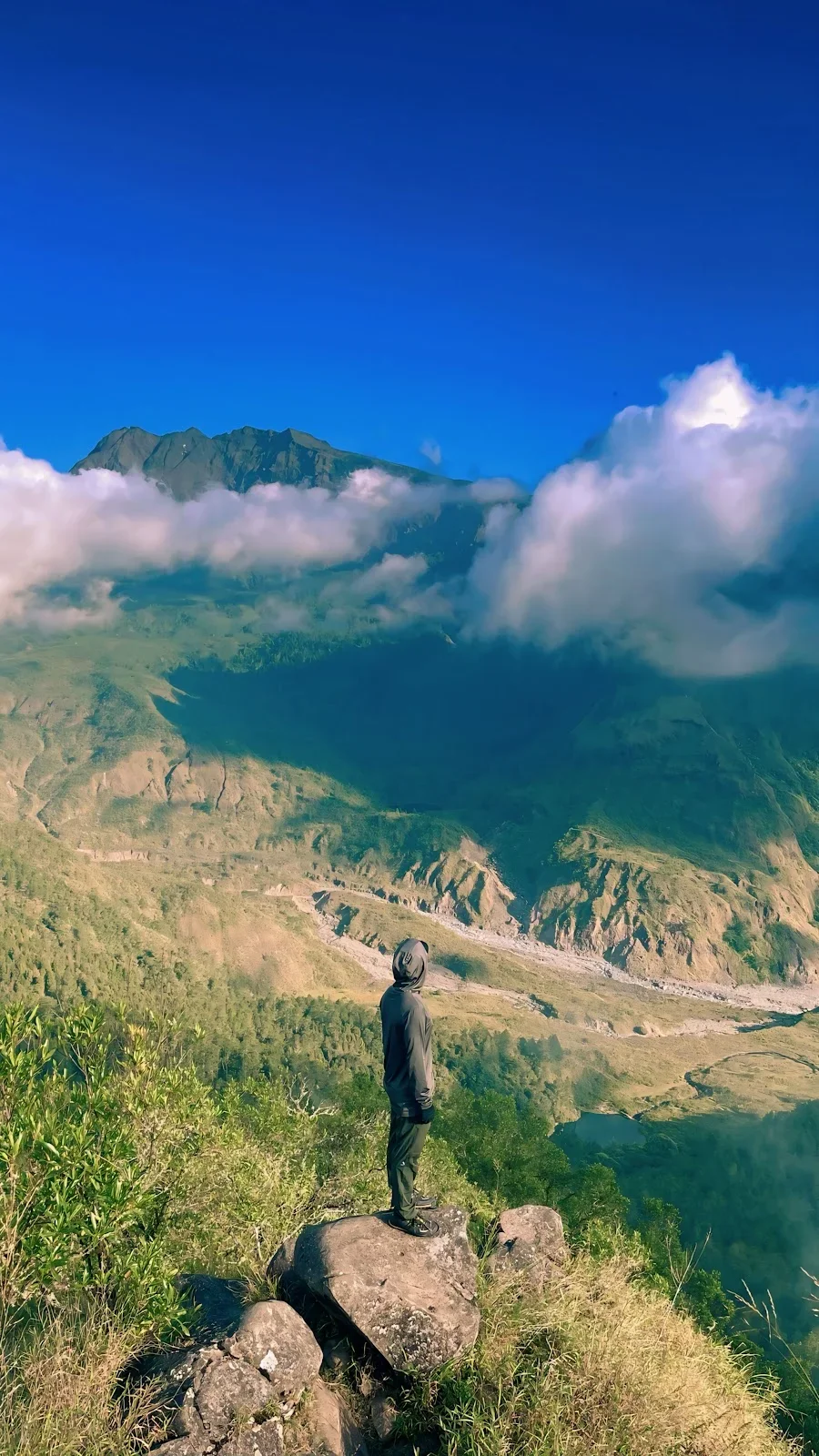
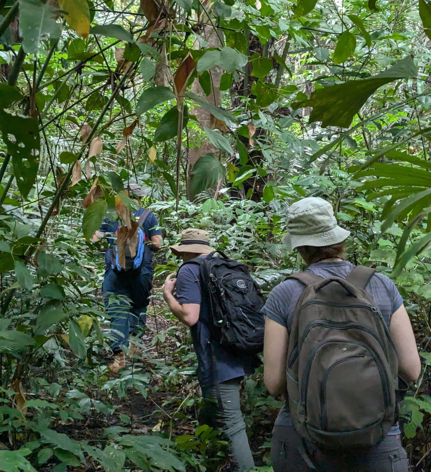

Sulawesi's key facts on one page: the 11th-largest island in the world, its six provinces and 21.0 million people, its lakes, wildlife and protected areas. Each figure has its source.
Sulawesi is an island in Indonesia, east of Borneo. It is the 11th-largest island in the world, at 169,981 km². About 21.0 million people live in its six provinces, by the mid-2025 estimate of Statistics Indonesia (BPS). Makassar is the largest city. The highest point is Rantemario, at 3,478 m.
Sulawesi size and shape
The main island alone covers 169,981 km². With their smaller islands, the six provinces cover 186,064 km². Of Indonesia's islands, only New Guinea, Borneo and Sumatra are larger.
Sulawesi has four peninsulas: the North (Minahasa) Peninsula, the East Peninsula, the Southeast Peninsula and the South Peninsula. Three gulfs lie between them: Tomini, Tolo and Bone. The Makassar Strait separates Sulawesi from Borneo. The interior is mountainous. The peninsulas were long better linked by sea than by road.
Sulawesi provinces: capitals, area and population
| Province | Capital | Area (km²) | Population, 2020 census | Population, mid-2025 estimate |
|---|---|---|---|---|
| North Sulawesi | Manado | 14,488 | 2,621,923 | 2,721,440 |
| Gorontalo | Gorontalo | 12,025 | 1,171,681 | 1,242,240 |
| Central Sulawesi | Palu | 61,497 | 2,985,734 | 3,156,100 |
| West Sulawesi | Mamuju | 16,591 | 1,419,229 | 1,525,335 |
| South Sulawesi | Makassar | 45,324 | 9,073,509 | 9,563,130 |
| Southeast Sulawesi | Kendari | 36,139 | 2,624,875 | 2,836,740 |
| Six provinces | 186,064 | 19,896,951 | 21,044,985 |
All figures are from BPS. The total is the sum of the six provinces. Central Sulawesi is the largest province, with a third of the land. South Sulawesi has the most people: 45% of the total. Gorontalo split from North Sulawesi in 2000. West Sulawesi split from South Sulawesi in 2004.
Sulawesi people, languages and religions
Sulawesi has the third-largest population of Indonesia's seven geographical regions, after Java and Sumatra. Makassar had 1,423,877 people at the 2020 census.
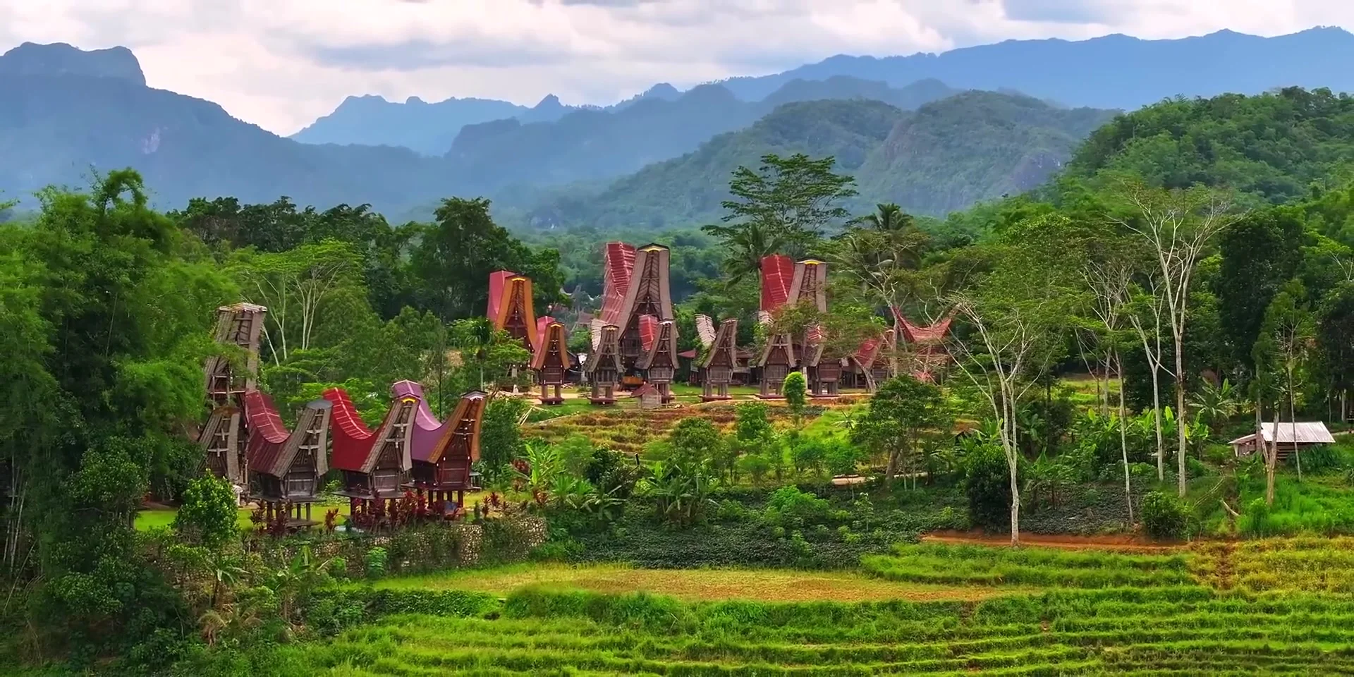
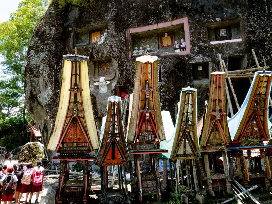
The Bugis, the Makassarese and the Toraja live mainly in South Sulawesi. In 2010, they made up 45%, 30% and 7% of its people. The Mandar were 45% of West Sulawesi's people in 2010. The Minahasa live at the northern tip, around Manado. The Kaili live mainly around Palu, in Central Sulawesi. Other main peoples include the Gorontalo, the Tolaki and the coastal Bajau.
Indonesian is the official language. Ethnologue (2009) lists 114 native languages on Sulawesi. All of them are Austronesian.
In December 2023, the Ministry of Home Affairs registered 81.8% of the people as Muslim, 15.1% as Protestant, 1.6% as Catholic and 1.3% as Hindu. Christian areas include Minahasa, the Sangihe and Talaud Islands, the Toraja highlands, the Lake Poso area and Mamasa.
Sulawesi geography: mountains, lakes and the Wallace Line
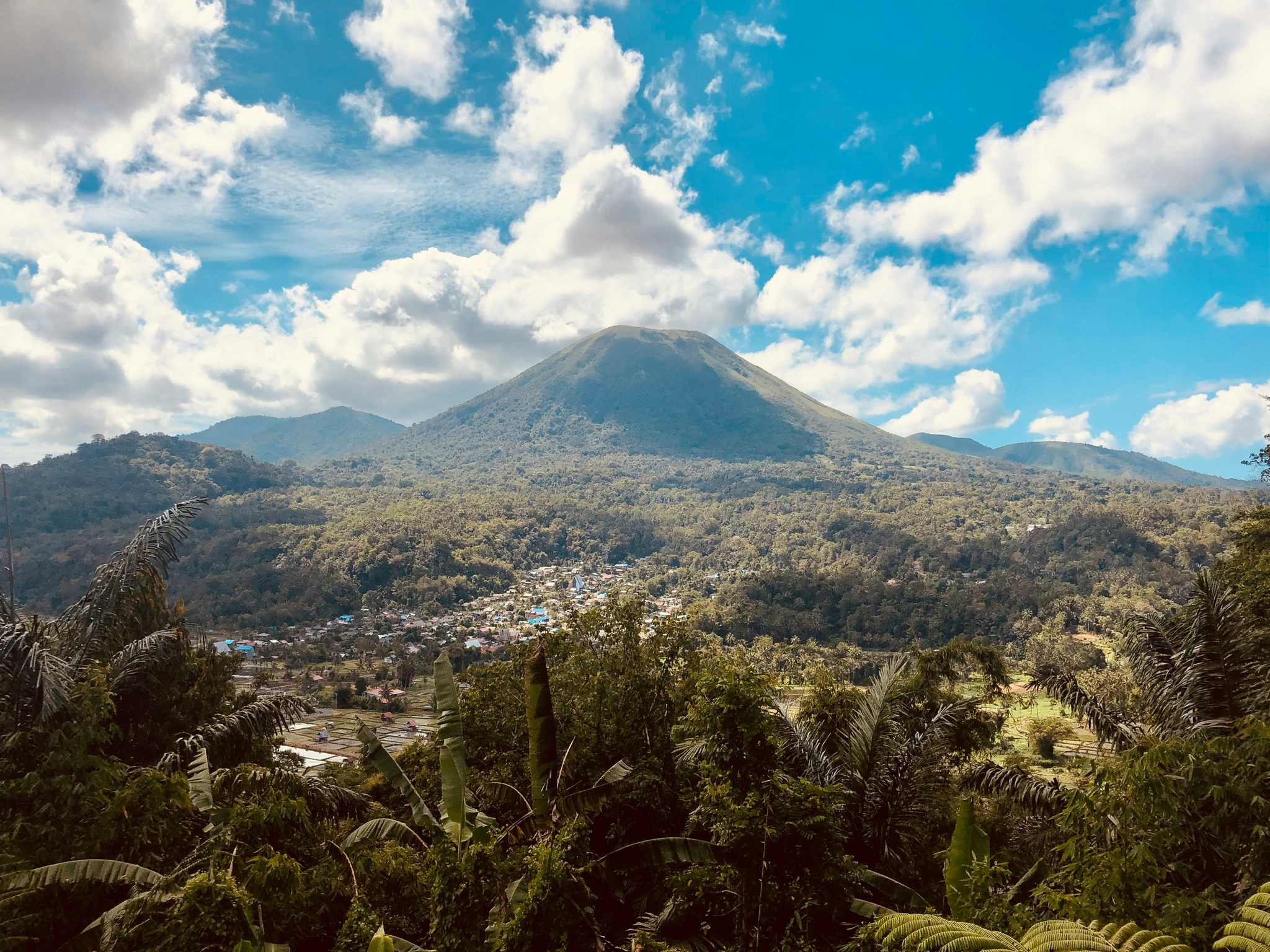
Rantemario is the highest peak of the Latimojong range in South Sulawesi. Most of the interior is mountainous but not volcanic. Active volcanoes stand in the north, from the Minahasa Peninsula to the Sangihe Islands.
| Lake | Province | Area | Maximum depth |
|---|---|---|---|
| Towuti | South Sulawesi | 561.1 km² | 203 m |
| Poso | Central Sulawesi | 323.2 km² | 450 m |
| Matano | South Sulawesi | 164.1 km² | 590 m |
Towuti is the largest lake on Sulawesi. Matano is the deepest lake in Indonesia. Its surface lies 382 m above sea level. Its floor lies 208 m below sea level.
Alfred Russel Wallace drew his line between Asian and Australian animals in 1859. The Wallace Line runs through the Makassar Strait, west of Sulawesi. West of the line, the animals have Asian relatives. East of it, species of Asian and Australian origin mix. The islands between the Asian and Australian continental shelves form Wallacea. Sulawesi is its largest island.
Sulawesi endemic animals
- Anoa. These dwarf buffalo live only on Sulawesi and nearby Buton. There are two species, the lowland anoa and the mountain anoa. The IUCN lists both as Endangered (2016).
- Babirusa. Males of these wild pigs grow upper tusks through the snout. The North Sulawesi babirusa lives only on Sulawesi and a few nearby islands. The IUCN lists it as Vulnerable (2016). Other babirusa species live on the Togian Islands and in Maluku.
- Maleo. This megapode bird lays its eggs in hot sand. The sun or volcanic heat warms them until they hatch. It lives only on Sulawesi and nearby Buton. The IUCN lists it as Critically Endangered (2021).
- Tarsiers. These small primates are active at night. The genus Tarsius lives only on Sulawesi and nearby islands. Other tarsier genera live on Borneo, on Sumatra and in the southern Philippines.
- Crested black macaque. This black monkey (Macaca nigra) is native only to the north of Sulawesi. The IUCN lists it as Critically Endangered (2020).
Sulawesi protected areas: national parks and UNESCO sites
Sulawesi and its islands have nine national parks.
| National park | Province | Year |
|---|---|---|
| Lore Lindu | Central Sulawesi | 1982 |
| Rawa Aopa Watumohai | Southeast Sulawesi | 1989 |
| Bogani Nani Wartabone | North Sulawesi and Gorontalo | 1991 |
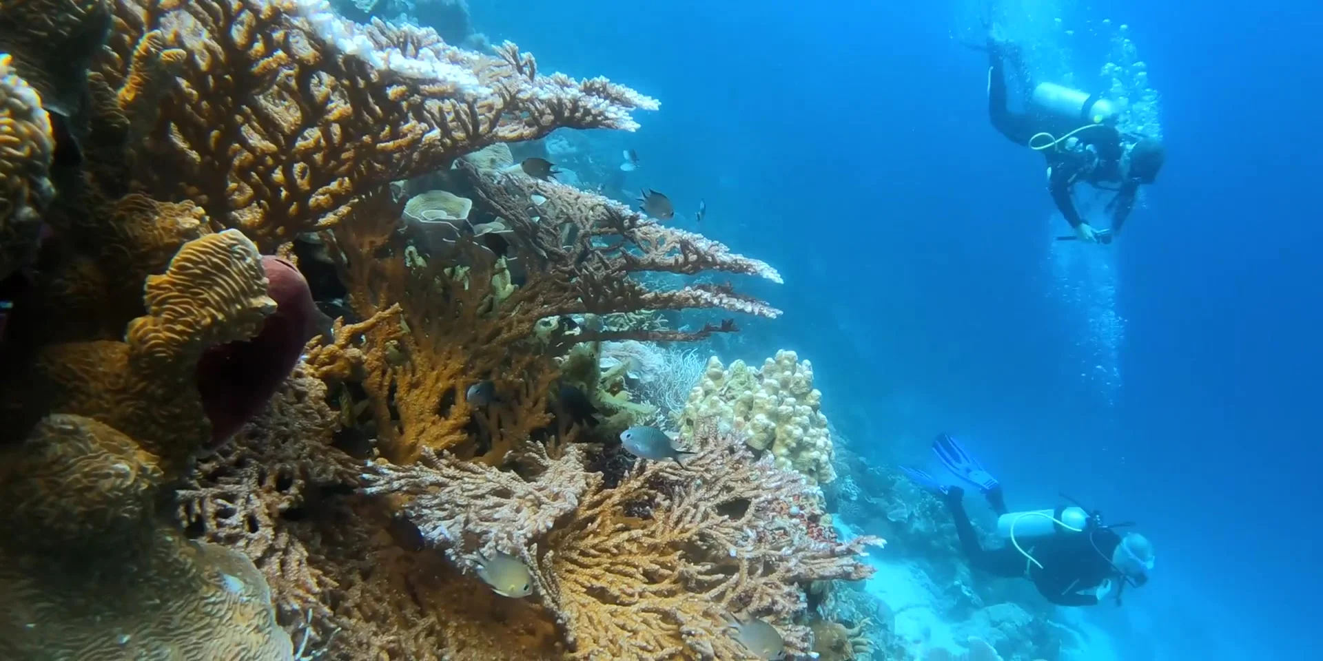
| Bunaken | North Sulawesi | 1991 |
| Taka Bonerate | South Sulawesi | 1992 |
| Wakatobi | Southeast Sulawesi | 2002 |
| Bantimurung-Bulusaraung | South Sulawesi | 2004 |
| Kepulauan Togean | Central Sulawesi | 2004 |
| Gandang Dewata | West Sulawesi | 2016 |
UNESCO lists four biosphere reserves on Sulawesi and its islands: Lore Lindu (1977), Wakatobi (2012), Taka Bonerate-Kepulauan Selayar (2015) and Togean Tojo Una-Una (2019). In 2023, UNESCO named Maros-Pangkep, north of Makassar, a Global Geopark. The geopark covers 5,077 km² and has 572 caves.
Sulawesi history in brief
- Stone tools at Calio, in Soppeng regency, show that early humans lived on Sulawesi at least 1.04 million years ago.
- A hand stencil in Liang Metanduno, a cave on Muna Island, is at least 67,800 years old. It is the oldest dated cave art in the world.
- The oldest record of the Portuguese name Celebes dates from 1512.
- The kingdoms of Luwu and Gowa-Talloq adopted Islam in 1605.
- In 1667, Sultan Hasanuddin of Gowa signed the Treaty of Bongaya with the Dutch East India Company. The treaty gave the company control of trade.
- In 1905, the whole island became part of the Netherlands East Indies.
- In 1950, Sulawesi became part of the Republic of Indonesia.
Sulawesi travel basics: time, money and airports
- Time zone. All six provinces use Central Indonesia Time (WITA), UTC+8. This is one hour ahead of Jakarta. Indonesia does not use daylight saving time.
- Currency. Indonesia's currency is the rupiah (IDR, written Rp).
- Airports. Sultan Hasanuddin International Airport (UPG) serves Makassar. It lies in Maros, about 20 km from central Makassar. Sam Ratulangi International Airport (MDC) lies 13 km north-east of Manado.
More about Sulawesi on this site
- Seasons: the best time to visit, region by region, with the rain and the sea by month.
- Safety: is Sulawesi safe? Official advice, earthquakes, volcanoes, the sea and the roads.
- Travel: getting around Sulawesi and visa, SIM card and money.
- Lakes: Lake Matano and Lake Poso.
- Wildlife: the endemic birds, the maleo and the Wallace Line.
- People and history: Tana Toraja, Muslims and Christians in Sulawesi and the cave art.
- National parks: Bunaken, Wakatobi, the Togean Islands and Lore Lindu.
What are the key facts about Sulawesi? Sulawesi is an island in Indonesia and the 11th-largest island in the world, at 169,981 km². About 21.0 million people live in its six provinces, by the BPS estimate for mid-2025. Makassar is the largest city. The highest point is Rantemario, at 3,478 m. Animals such as the anoa and the maleo live only on Sulawesi and a few nearby islands.
Sources
Size, people and geography:
- List of islands by area, Wikipedia, 4 October 2026, with areas from the Global Islands dataset of USGS, Esri and UNEP-WCMC, 16 March 2026.
- Sulawesi, Wikipedia, 12 October 2026, with Ministry of Home Affairs religion data for 31 December 2023.
- North Sulawesi, Gorontalo, Central Sulawesi, West Sulawesi, South Sulawesi and Southeast Sulawesi, Wikipedia, 4 to 29 October 2026, citing the BPS 2020 census and Dalam Angka 2026 (27 February 2026), and Ananta et al., Demography of Indonesia's Ethnicity, ISEAS, 2015.
- Provinces of Indonesia, Wikipedia, 30 October 2026, with BPS regional totals for mid-2025.
- Languages of Sulawesi, Wikipedia, 16 May 2025, citing Ethnologue, SIL International, 2009.
- Mountains of the Indonesian Archipelago, Peaklist, 16 August 2005.
- List of lakes of Indonesia, Wikipedia, 31 May 2026, citing Lehmusluoto and Machbub's lake inventory, 1997. Lake Matano, Wikipedia, 26 July 2026.
- Wallace Line, Wikipedia, 13 October 2026. Wallacea, Wikipedia, 16 August 2026.
Animals: Wikipedia pages on the lowland anoa, mountain anoa, North Sulawesi babirusa, babirusa, maleo, Tarsius and crested black macaque, April to October 2026, citing IUCN Red List assessments of 2016 to 2021.
Protected areas:
- List of national parks of Indonesia, Wikipedia, 11 October 2026. Taka Bonerate National Park, Wikipedia, 7 July 2026.
- UNESCO biosphere reserve pages for Lore Lindu, Wakatobi and Taka Bonerate-Kepulauan Selayar, UNESCO, archived March 2024.
- Kepulauan Togean National Park, ASEAN Centre for Biodiversity, 2025.
- Maros Pangkep UNESCO Global Geopark, UNESCO, 24 May 2023.
History and travel basics:
- Hakim et al., Hominins on Sulawesi during the Early Pleistocene, Nature, 6 August 2025.
- Oktaviana et al., Rock art from at least 67,800 years ago in Sulawesi, Nature, 21 January 2026.
- Treaty of Bongaya, Wikipedia, 23 July 2025.
- Time in Indonesia, Wikipedia, 27 October 2026. Indonesian rupiah, Wikipedia, 28 October 2026.
- Sultan Hasanuddin International Airport, Wikipedia, 30 October 2026. Sam Ratulangi International Airport, Wikipedia, 29 October 2026.