 Banggai ArchipelagoJourney to Peleng Island to experience Lake Paisupok, Indonesia’s famous glass-clear blue lake hidden within the Banggai archipelagoRead more
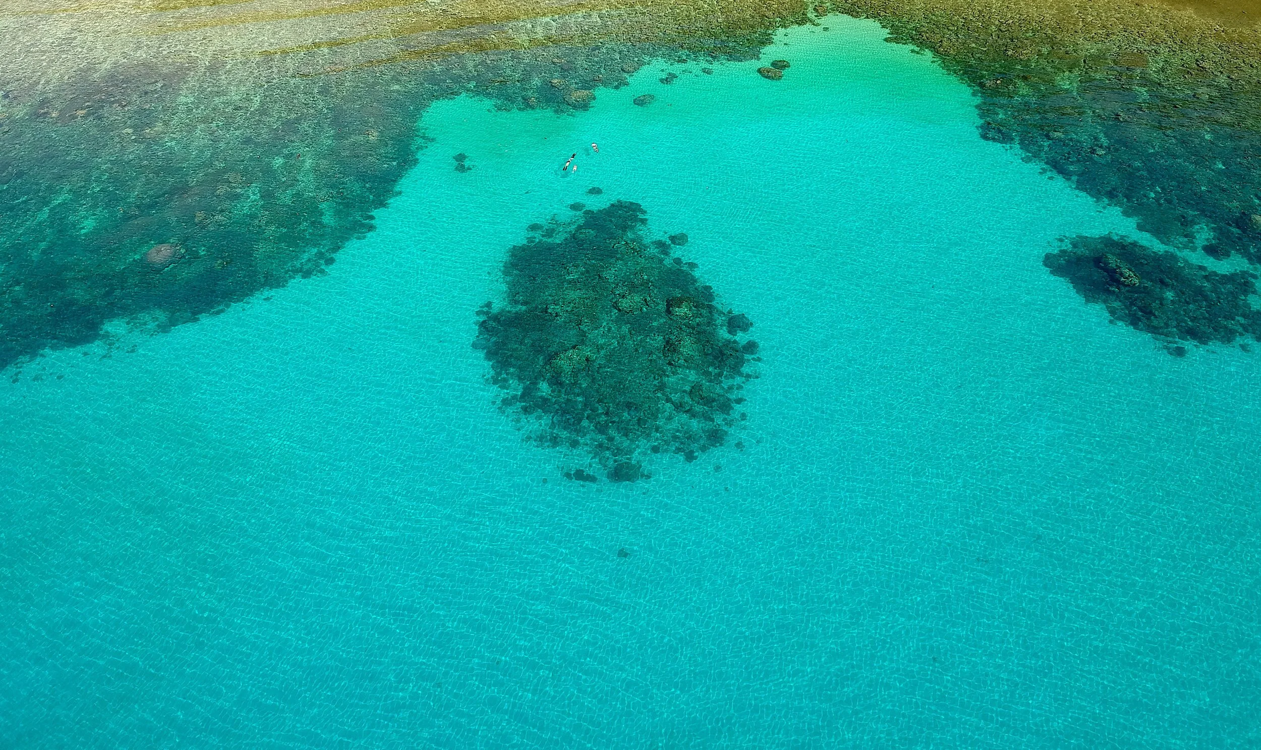 BangkaA small island off the northern tip of North Sulawesi, reached by boat from Likupang,
known for soft coral pinnacles and quiet dive resorts away from the Bunaken crowds.Read more
 BiraUnwind on South Sulawesi’s southern tip, famous for flour-soft white sand beaches, vibrant turquoise waters, and ancient Phinisi boatbuilding traditionsRead more
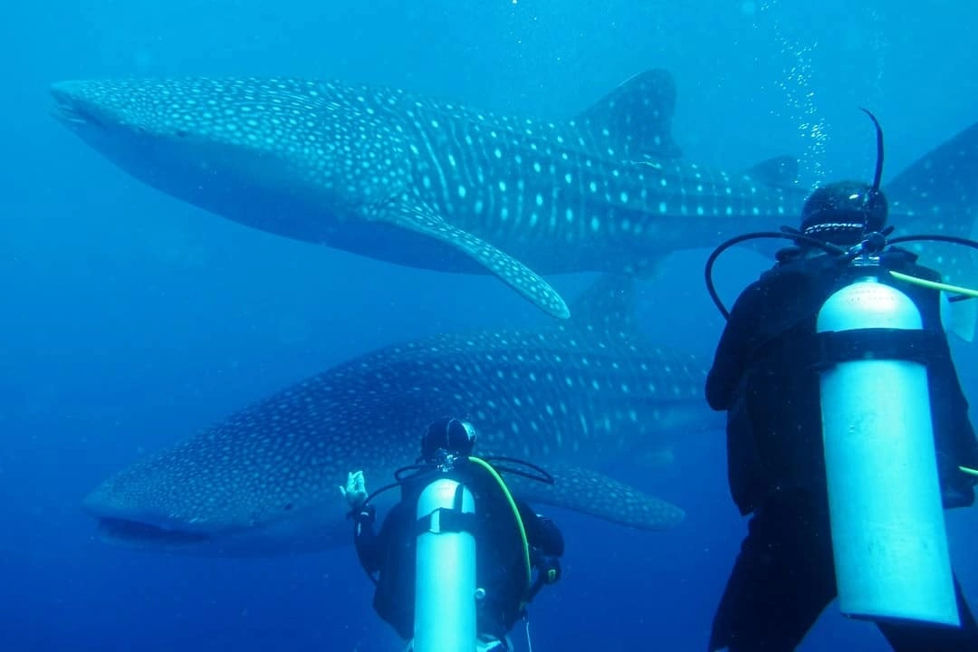
- Tanjung Bira Travel Guide: What's Worth the StopThe southern tip has the white sand, but most travellers stay a night too many. An honest read on when Bira earns the trip.Read more
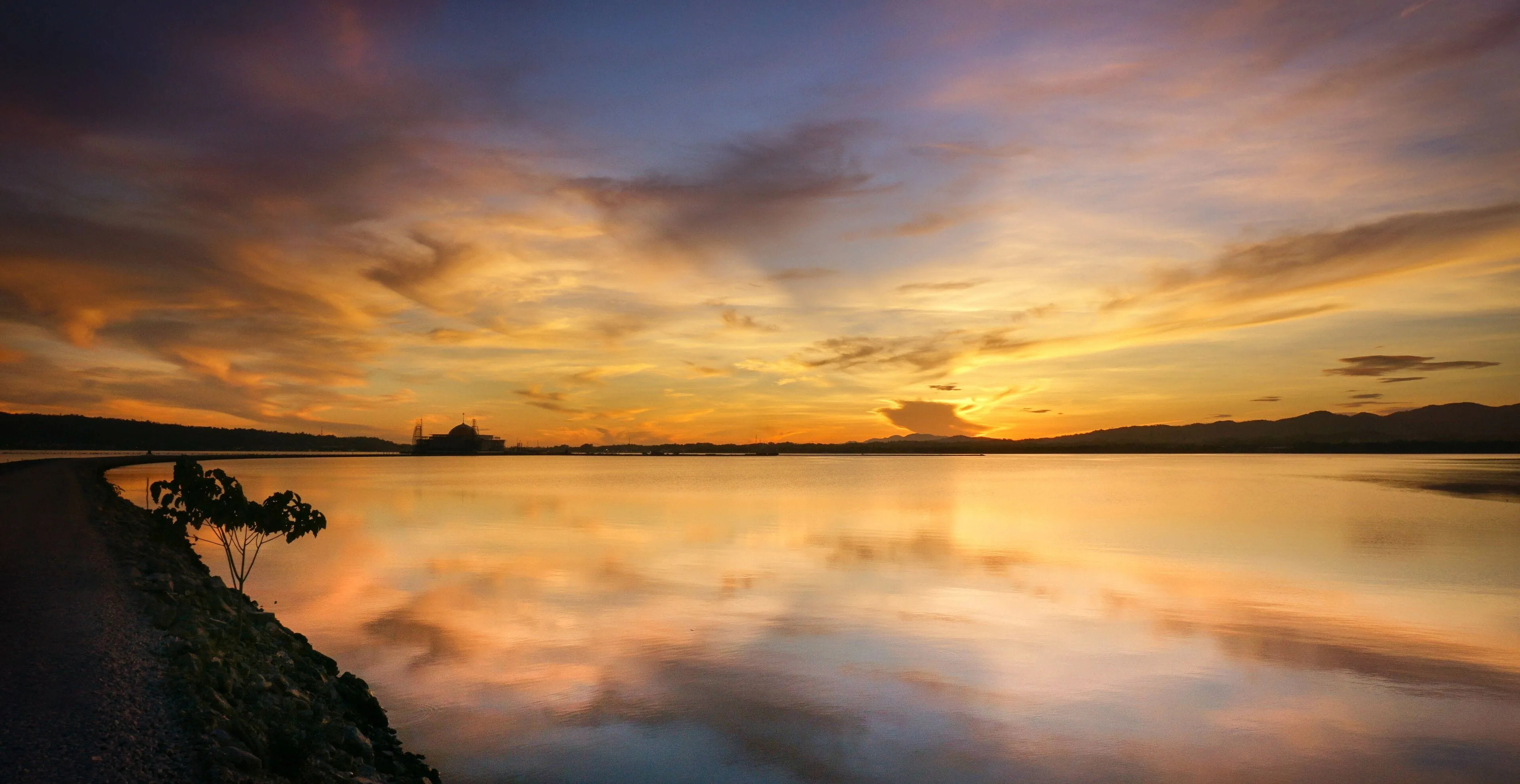
- Pinisi Shipbuilding at Tana Beru: Inside the Bugis BoatyardNine months, three carpenters, and no measuring tape. Inside the Tana Beru pinisi yard, where Bugis shipbuilders still work the old way.Read more
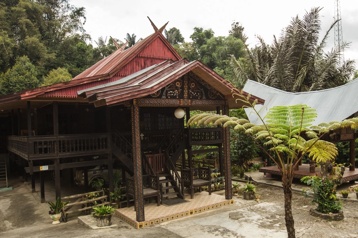
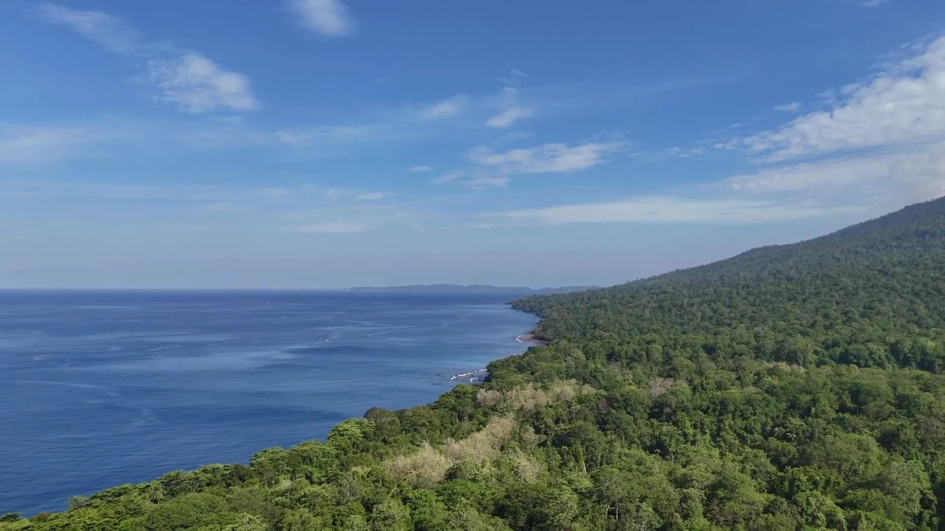 Tarsier Spotting at Tangkoko: A Practical Field GuideTarsiers wake at six, weigh less than a phone, and forgive a quiet visitor exactly once. How to find them at Tangkoko — rangers, timing, and the rules.Read more


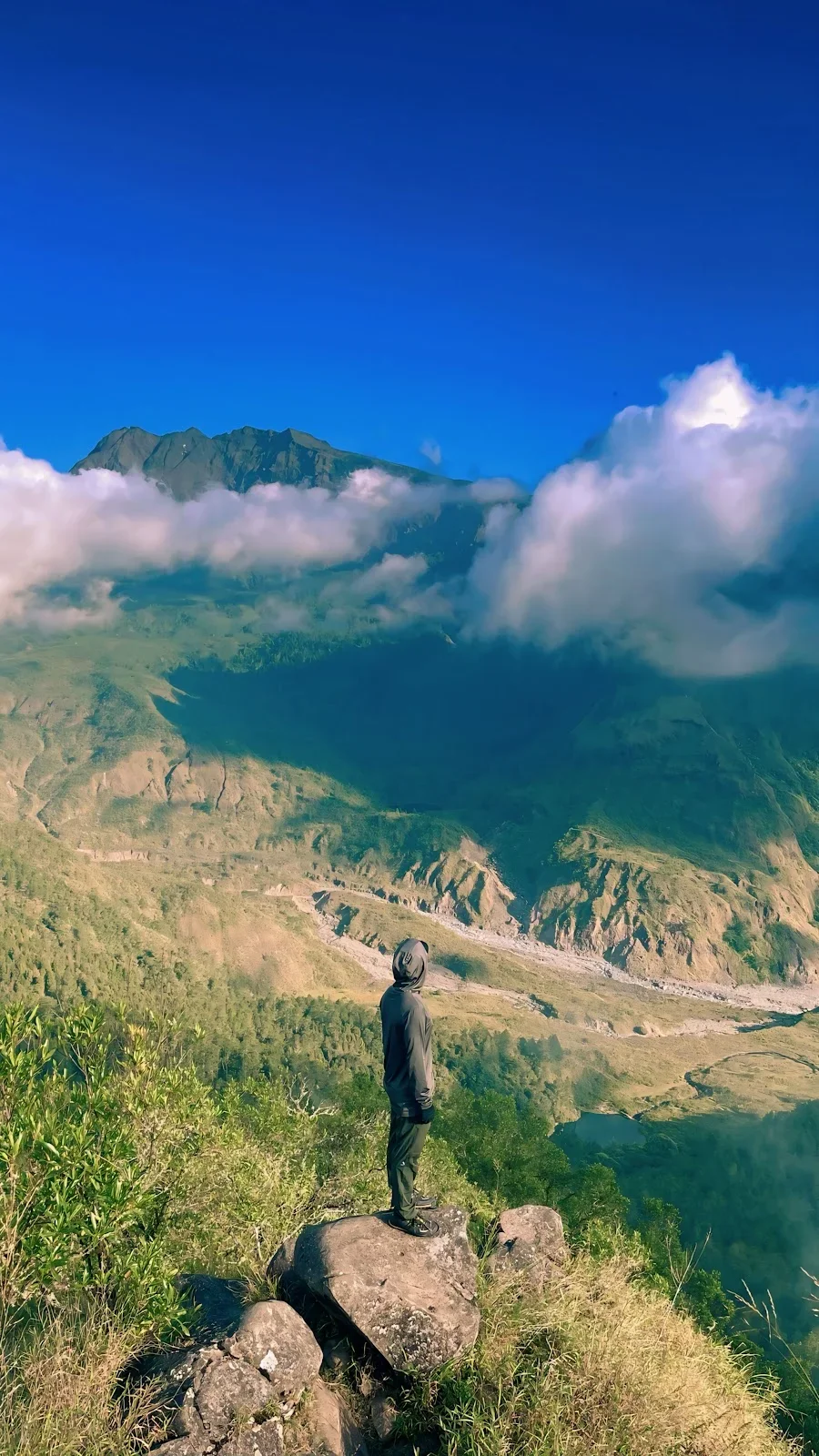 2-Day Lembah Ramma Valley Hiking & Camping TourJourney from Makassar into the cool highlands of Malino for a 2-day trekking adventure through mountain streams and pine forests to Lembah Ramma. Camp overnight in a tranquil valley beneath the shadows of Mount Bawakaraeng, surrounded by lush meadows and dramatic rock wallsRead more
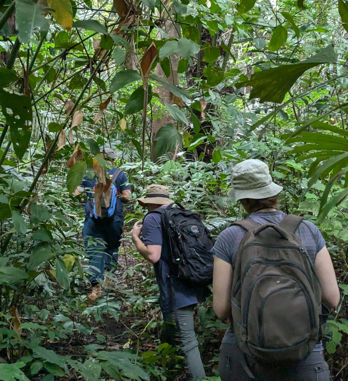 2D1N Tangkoko Nature Reserve Overnight Wildlife SafariExperience Tangkoko Nature Reserve across two distinct wildlife activity windows on an overnight safari. Track troops of Sulawesi black crested macaques, bear cuscus, and nocturnal tarsiers at dusk, then wake for an early-morning canopy trek to spot rare endemic birds and early-rising primatesRead more
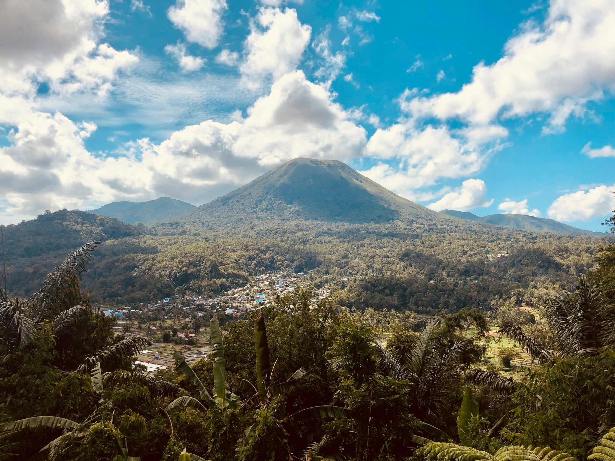 3D2N Manado Highland & Island EscapeDiscover the cool Minahasa Highlands and historic landmarks before venturing out on a boat excursion across Bunaken Marine Park and Nain Island. Wrap up your journey with local culinary experiences and a quick city shopping tour of ManadoRead more
- 2-Day Lembah Ramma Valley Hiking & Camping Tour
- 2D1N Tangkoko Nature Reserve Overnight Wildlife Safari
- 3D2N Manado Highland & Island Escape
- 3-Day Toraja Cultural Immersion & Traditional Villagestay
- 7-Day Mount Gandang Dewata Remote Peak Traverse
- 5-Day Babirusa & Nantu Forest Expedition
- 14-Day Grand South & West Sulawesi Cultural Grand Overland Expedition
- All Trek tours
- 2-Day Lembah Ramma Valley Hiking & Camping Tour
- 3D2N Manado Highland & Island Escape
- 3D2N Makassar & Maros Highlights Tour
- 2-Day Bulukumba & Ammatoa Kajang Indigenous Village Cultural Tour
- 3-Day Toraja Cultural Immersion & Traditional Villagestay
- 7-Day Mount Gandang Dewata Remote Peak Traverse
- 7-Day Banggai Islands Expedition Cruise
- 5-Day Babirusa & Nantu Forest Expedition
- 8-Day Togean Islands Cruise & Beach Hopper Adventure
- 14-Day Grand South & West Sulawesi Cultural Grand Overland Expedition
- All Culture tours
- 2-Day Lembah Ramma Valley Hiking & Camping Tour
- 2D1N Tangkoko Nature Reserve Overnight Wildlife Safari
- 3D2N Manado Highland & Island Escape
- 3D2N Makassar & Maros Highlights Tour
- Bunaken & North Sulawesi Flexible Dive Resort Escape
- 3-Day Toraja Cultural Immersion & Traditional Villagestay
- 7-Day Mount Gandang Dewata Remote Peak Traverse
- 7-Day Banggai Islands Expedition Cruise
- 5-Day Babirusa & Nantu Forest Expedition
- All Wildlife & Birding tours
 Private car with driverDoor to door across Sulawesi, with a local driver. Send us your route, and we reply with a price.Ask for a price
 Road routes27 routes between the towns of Sulawesi, each with its distance and drive time.All land routes
- Tours with transport includedTours put the driving, the stops and the nights together into one trip.See the tours
Weather in Sulawesi
The weather now and the forecast for 24 places in the six provinces of Sulawesi. The figures come from BMKG, Indonesia's weather service, from MET Norway and from the airports. The page updates itself every five minutes.
All times are Sulawesi time (WITA, UTC+8).
Get alerts by email
Choose the places on your route and what you want to know. We send an email when it happens, and only then. Each email has a link to stop the alerts.
Haze and flights
Smoke from fires can close an airport for hours. Here is what each airport reports now, the fires satellites saw nearby, the airspace warnings over Sulawesi, and how often haze came in each month of past years.
2,039 fires seen by satellite in and around Sulawesi in the last 48 hours
Airspace warnings over Sulawesi now
No ash, cyclone or storm warning touches Sulawesi now.
International SIGMETs for the Ujung Pandang airspace, through aviationweather.gov. Volcanic ash can close airports and routes.
- Haze risk: moderate
Makassar Hasanuddin Airport
WAAA
- No haze reported: visibility 8 km (30 Oct, 09:30 WITA)
- Fires seen in 48 hours: 79 within 100 km, 398 within 300 km
- Rain forecast in the next 48 hours: 2.1 mm
- Why: many fires nearby · haze season in past years · rain on the way clears haze
Hours with haze, by month, since 2010
Share of the hours when the airport reported haze or smoke, all years together.
- Jan
- Feb
- Mar
- Apr
- May
- Jun
- Jul
- Aug
- 1%Sep
- 4%Oct
- Nov
- Dec
The worst haze days on record
- 14 Oct 2026: 24 hours of haze, visibility down to 1.7 km
- 30 Oct 2015: 24 hours of haze, visibility down to 4 km
- 26 Oct 2026: 23 hours of haze, visibility down to 2 km
- 29 Oct 2015: 23 hours of haze, visibility down to 4 km
- 26 Oct 2015: 19 hours of haze, visibility down to 3 km
- 24 Oct 2026: 19 hours of haze, visibility down to 3.8 km
- 13 Oct 2026: 18 hours of haze, visibility down to 3 km
- 19 Oct 2026: 17 hours of haze, visibility down to 3.5 km
- 25 Oct 2026: 17 hours of haze, visibility down to 3.5 km
- 25 Oct 2015: 16 hours of haze, visibility down to 2 km
- Haze risk: moderate
Manado Sam Ratulangi Airport
WAMM
- No haze reported: visibility 10+ km (30 Oct, 09:30 WITA)
- Fires seen in 48 hours: 35 within 100 km, 209 within 300 km
- Rain forecast in the next 48 hours: 14.2 mm
- Why: many fires nearby · haze season in past years · rain on the way clears haze
Hours with haze, by month, since 2010
Share of the hours when the airport reported haze or smoke, all years together.
- Jan
- Feb
- Mar
- Apr
- May
- Jun
- Jul
- Aug
- Sep
- 6%Oct
- Nov
- Dec
The worst haze days on record
- 24 Oct 2015: 24 hours of haze, visibility down to 3 km
- 22 Oct 2026: 24 hours of haze, visibility down to 3 km
- 24 Oct 2026: 24 hours of haze, visibility down to 3 km
- 25 Oct 2026: 24 hours of haze, visibility down to 3 km
- 23 Oct 2026: 24 hours of haze, visibility down to 3.5 km
- 15 Oct 2026: 23 hours of haze, visibility down to 1 km
- 20 Oct 2026: 23 hours of haze, visibility down to 1 km
- 21 Oct 2015: 23 hours of haze, visibility down to 3 km
- 22 Oct 2015: 23 hours of haze, visibility down to 3 km
- 23 Oct 2015: 23 hours of haze, visibility down to 3 km
- Haze risk: moderate
Gorontalo Djalaluddin Airport
WAMG
- The airport sends no public report now.
- Fires seen in 48 hours: 166 within 100 km, 586 within 300 km
- Rain forecast in the next 48 hours: 4 mm
- Why: many fires nearby · rain on the way clears haze
- Haze risk: moderate
Palu Mutiara Airport
WAML
- The airport sends no public report now.
- Fires seen in 48 hours: 10 within 100 km, 720 within 300 km
- Rain forecast in the next 48 hours: 13.7 mm
- Why: many fires nearby · rain on the way clears haze
- Haze risk: moderate
Luwuk Syukuran Aminuddin Amir Airport
WAMW
- The airport sends no public report now.
- Fires seen in 48 hours: 132 within 100 km, 1165 within 300 km
- Rain forecast in the next 48 hours: 3.6 mm
- Why: many fires nearby · rain on the way clears haze
- Haze risk: moderate
Baubau Betoambari Airport
WAAB
- The airport sends no public report now.
- Fires seen in 48 hours: 144 within 100 km, 686 within 300 km
- Rain forecast in the next 48 hours: 2.3 mm
- Why: many fires nearby · rain on the way clears haze
The haze risk is our estimate from haze reports, fires, past years and rain. It is not an airline notice. Airlines and airports decide on flights: check your flight with your airline before you leave.
Earthquakes around Sulawesi
The latest earthquakes BMKG lists in and near Sulawesi: magnitude 5 or more, and every earthquake people felt. BMKG writes the place and the reports in Indonesian.
- 5.7M
12 Oct, 05:34 WITA
29 km BaratLaut POHUWATO-GORONTALO
76 km deep · 122 km from Togean Islands
No tsunami risk (BMKG)
- 5.1M
9 Oct, 13:11 WITA
125 km Tenggara BITUNG-SULUT
10 km deep · 117 km from Lembeh Strait
No tsunami risk (BMKG)
Near the coast, after strong or long shaking, go to high ground at once. Do not wait for a warning.
Where the figures come from
BMKG
Indonesia's Meteorology, Climatology and Geophysics Agency. Its official forecast for each village, every three hours for three days, and its lists of earthquakes. We ask for the forecast every hour and for the earthquakes every five minutes.
Last answer: 30 Oct, 09:10 WITA
MET Norway
The Norwegian Meteorological Institute. Its global forecast, each hour for two days, then to ten days. We ask for it again as soon as it changes. Data licensed under CC BY 4.0.
Last answer: 30 Oct, 09:43 WITA
Airport reports (METAR)
What the airports measure, through aviationweather.gov (NOAA). Today only Makassar and Manado send them every half hour. A place uses its airport's report only when the airport is near and at the same height.
Last answer: 30 Oct, 09:48 WITA
NASA FIRMS
Fires seen by the NOAA-20 and Suomi NPP satellites in the last 48 hours. We acknowledge the use of data from NASA's Fire Information for Resource Management System (FIRMS). A hotspot is a heat source: most are fires.
Last answer: 30 Oct, 09:42 WITA
IEM and NASA POWER
The airports' haze history comes from the Iowa Environmental Mesonet's archive of airport reports. The climate by month comes from NASA POWER (Prediction Of Worldwide Energy Resources).
A forecast can be wrong, and the weather in the mountains and at sea changes fast. Before a boat trip or a climb, ask your boat operator, your guide or the harbour about the conditions on the day.